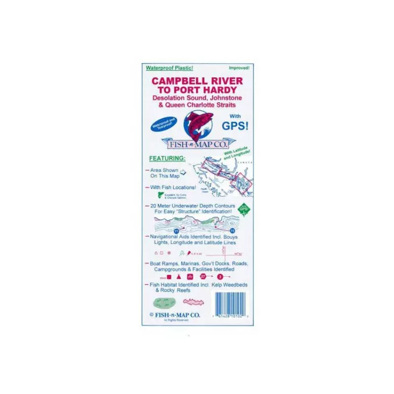
Fish-n-Map Company produces and distributes fishing maps for structure fishing.
- Contours: 5 meter
- Scale: 1:100,000 / 1:50,000 Campbel R. detail
Our fishing maps includeunderwater topography, fish locations, longitude & latitude grids and many more featuresuseful to fishermen, boaters and campers. Most of our maps feature GPS locations. All of our saltwater charts identify the artificial habitats in the area.
Our maps are some of the best fishing guides available and can bring new insight to those familiar fishing spots, or allow you to plan your fishing strategy before you even arrive in a new area.
Fish smart… With Fish-n-Map.
Map Features
Convenient Fishing Maps That Last!
Fish-n-Map Company’s Underwater Topography Maps are printed on awater-proof, tear-resistant plastic materialfor durability in the field and are folded to 9″x4″. When opened, each map is approximately 3’x2′ in size. Most maps are printed on both sides.
Our maps includeextensive and detailed legendsthat guide you through valuable information such as;
- Lake characteristics
- Underwater depth contours
- Fish habitat including;
– Submerged weedbeds, brush & trees
– Rock rubble reefs & log canopies - Fish Species Identified
- Fishing strategy & fishing locations
- Longitude & Latitude Grids
- GPS Locations
- Marinas, Campgrounds & Facilities
Our maps will not only improve your fishing trip,
but your entire outdoor experience
Identifying Fish Habitat
A good fisherman will pursue his best opportunities for successful fishing by identifying good structure and good fish habitats on those structures. Fish-n-Map Co. has taken on the challenge of helping the angler byidentifying not only the underwater topography structure of lakes but also the fish habitat that is associated with those structural features.
Fish habitat is usually in the form of weedbeds, rock rubble reefs, submerged brush and trees, wood log canopies and tule-filled (cattail) shorelines. Note that all these fish habitats provide shelter for the predators food such as minnows and crawdads while all the aforementioned habitats, except tules, provide shelter for the larger predator fish.
Fish habitat is so important that many artificial fish habitats are being added to numerous lakes throughout the southwest. With our latest map updates, Fish-n-Map Co. is now providinginformation about natural and artificial fish habitatsthat the angler should take into account for more successful anglin